
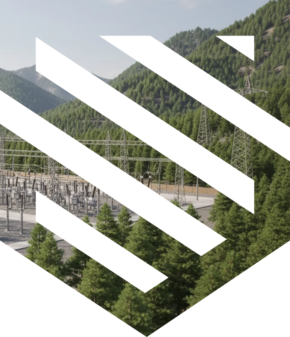
Protecting what powers America.
We advise organizations operating in critical, complex, and high-risk environments by bringing together spatial analysis, modeling, and disciplined thinking to drive better decisions.
Solstrata was built for the kinds of problems that demand more than conventional security consulting. We bring exceptional people, physically grounded analysis, and disciplined thinking to environments where the stakes are unusually high.
We advise organizations facing security challenges that are too important, too complex, and too operationally consequential for guesswork.
By employing high-fidelity 3D models, spatial analytics, and proprietary software, we identify vulnerabilities, model real-world threat scenarios, and design practical mitigation strategies.
The result is sharper decision-making: clearer priorities, better capital allocation, and greater confidence in what to protect, where to invest, and how to reduce exposure.
Our Services

Adversary path modeling
Using proprietary methods, we simulate credible attack movement through a site to identify where defenses break down and where mitigation matter most.
Learn More
Ballistic line-of-sight analysis
By analyzing terrain, structures, and distance together, we identify where critical assets or personnel may be exposed to long-range threat vectors.
Learn More
Camera coverage analysis
We use 3D viewshed analysis to evaluate surveillance performance, identify blind spots, and inform smarter camera placement and coverage design.
Learn More
Security lighting simulation
We simulate existing and proposed lighting conditions to understand visibility, deterrence, and how illumination affects security performance across a site.
Learn More
We live in a three
dimensional world.
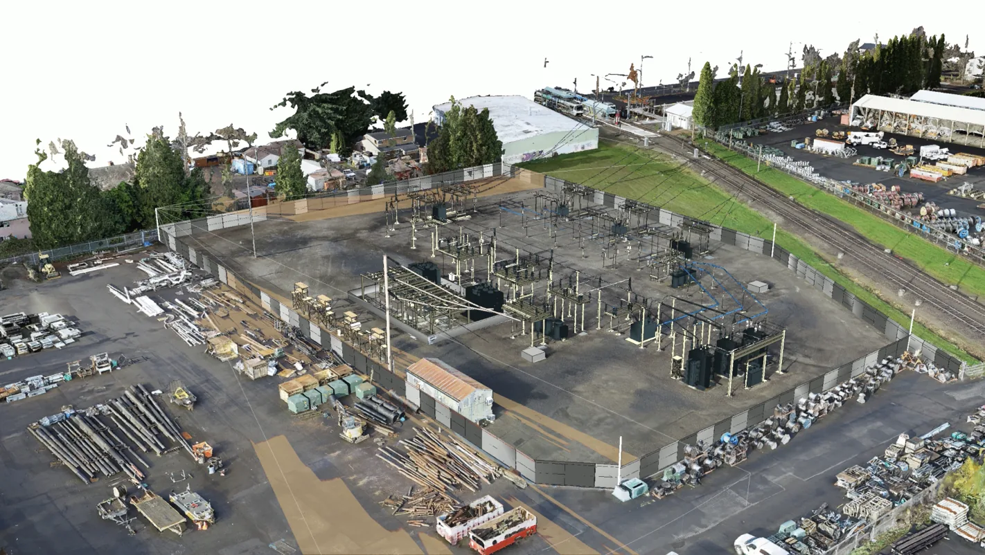
Necessarily, physical security needs to be addressed in 3D to model visibility, exposure, and adversary movement with precision.
Our approach. Grounded in reality. Executed with precision.
We approach security challenges with the mindset of engineers and the judgment of experienced consultants. By grounding our work in physical reality, we help clients understand risk more clearly, evaluate options more rigorously, and move forward with confidence.

Model reality
We build an accurate understanding of the environment itself: its geometry, terrain, structures, distances, and constraints. This allows every analysis to start from physical reality.

Analyze risk
We apply advanced analysis to test how risk actually unfolds across a site, helping clients distinguish between theoretical concern and analytically defensible exposure and risk.

Design mitigation
We translate analysis into action by helping clients prioritize investments, refine designs, and make defensible decisions with greater clarity and confidence.
Every discipline has its Holy Grail
As a team, we are committed to the pursuit. We are never satisfied, never settled, and always searching for more elegant solutions.
Learn More
Proudly headquartered in
Coronado, California.
Get in touch: info@solstrata.com